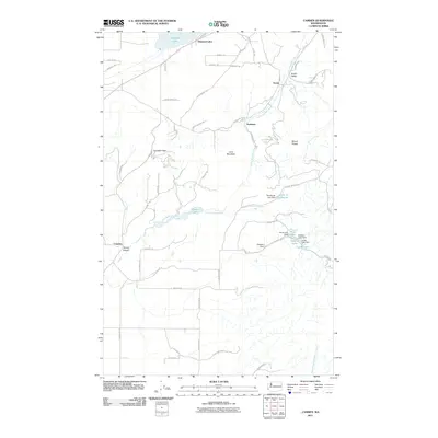
2011 Map of Camden
USGS Topo · Published 2011About this map
The Little Spokane River winds through this corner of Pend Oreille County, anchoring a landscape defined by its narrow valleys and numerous small lakes. The settlement of Scotia sits within the Scotia Valley in the northeast, while Camden and Scotia Canyon occupy the southwestern reaches. The area is marked by a series of small water bodies and associated infrastructure, including Chain Lake, Lynda Lake, and the Camden Dam. These features suggest a history of local water management and recreation.
Find a feature on this map
58 named features on this map. Tap any name to fly to it.
Don’t see what you’re looking for? This feature index may not catch every label — zoom into the map to look around manually.
Map Details
Editions of this 2011 Camden Map
This is the sole edition of this map. No revisions or reprints were ever made.
Other maps of this area

1901 · Spokane
USGS Topo · 1:125,000

1936 · Newport
USGS Topo · 1:96,000

1942 · Newport
USGS Topo · 1:125,000

1943 · Mt Spokane
USGS Topo · 1:62,500

1949 · Deer Park
USGS Topo · 1:62,500

1950 · Mt Spokane
USGS Topo · 1:62,500

1951 · Deer Park
USGS Topo · 1:62,500

1955 · Spokane
USGS Topo · 1:250,000

1958 · Spokane
USGS Topo · 1:250,000

1958 · Sandpoint
USGS Topo · 1:250,000