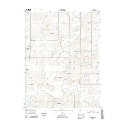
2014 Map of Camden Point
USGS Topo · Published 2014About this map
The winding course of the Platte River and the Little Platte River dictates the landscape of this northwestern Missouri region, where traditional farming communities and scattered hamlets define the settlement pattern. Edgerton and Camden Point serve as the primary hubs, connected by a network of rural roads that trace the high ground between creek drainages like Bell Cr and Alger Cr.
Find a feature on this map
62 named features on this map. Tap any name to fly to it.
Don’t see what you’re looking for? This feature index may not catch every label — zoom into the map to look around manually.
Map Details
Editions of this 2014 Camden Point Map
This is the sole edition of this map. No revisions or reprints were ever made.
Other maps of this area

1890 · Kansas City
USGS Topo · 1:125,000

1894 · Kansas City
USGS Topo · 1:125,000

1910 · Leavenworth
USGS Topo · 1:62,500

1914 · Smithville
USGS Topo · 1:62,500

1925 · Gower
USGS Topo · 1:62,500

1927 · Dearborn
USGS Topo · 1:62,500
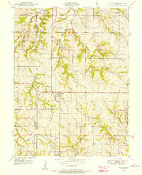
1948 · Nashua
USGS Topo · 1:24,000

1948 · Leavenworth
USGS Topo · 1:62,500

1950 · Kansas City
USGS Topo · 1:250,000
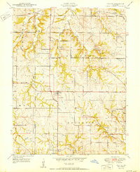
1950 · Nashua
USGS Topo · 1:24,000