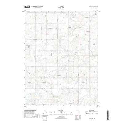
2017 Map of Camden Point
USGS Topo · Published 2017About this map
Edgerton and Camden Point anchor this rural landscape in Platte County, where the Platte River and its numerous tributaries like Shanks Br and Todd Cr define the local topography. The map reveals a high density of rural burial sites, including the Standiford Cem, Camden Point Cem, and Ridgely Cem, which offer significant value for genealogical research in this part of Missouri. The drainage pattern is complex, with named crossings such as Skinner Bridge and Mellon Bridge facilitating travel across the wetlands and river bottoms. Small historical clusters like Edgerton Junction, Goose Neck, and Kerrville appear alongside family-named landmarks like Smitty's Landing and Cockerill Lake. The presence of several interlinking rural routes, such as Stubbs Station Rd and Interurban Rd, suggests a long-standing network of local transport that predates modern highway development.
Find a feature on this map
71 named features on this map. Tap any name to fly to it.
Don’t see what you’re looking for? This feature index may not catch every label — zoom into the map to look around manually.
Map Details
Editions of this 2017 Camden Point Map
This is the sole edition of this map. No revisions or reprints were ever made.
Other maps of this area

1890 · Kansas City
USGS Topo · 1:125,000

1894 · Kansas City
USGS Topo · 1:125,000

1910 · Leavenworth
USGS Topo · 1:62,500

1914 · Smithville
USGS Topo · 1:62,500

1925 · Gower
USGS Topo · 1:62,500

1927 · Dearborn
USGS Topo · 1:62,500
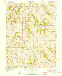
1948 · Nashua
USGS Topo · 1:24,000

1948 · Leavenworth
USGS Topo · 1:62,500

1950 · Kansas City
USGS Topo · 1:250,000
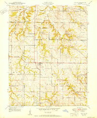
1950 · Nashua
USGS Topo · 1:24,000