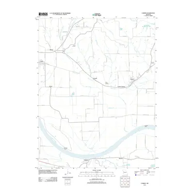
2012 Map of Camden
USGS Topo · Published 2012About this map
The Missouri River carves a massive sweeping arc through this Missouri landscape, defining the geographic and historical identity of the region. The river's influence is seen in the dramatic landforms of Napolean Bend and Camden Bend, where the waterway’s shifting course has shaped the surrounding floodplains. Just north of the river, the settlement of Camden and the nearby Camden Junction sit along the primary transit corridor, while the town of Orrick anchors the western edge of the quadrangle.
Find a feature on this map
79 named features on this map. Tap any name to fly to it.
Don’t see what you’re looking for? This feature index may not catch every label — zoom into the map to look around manually.
Map Details
Editions of this 2012 Camden Map
This is the sole edition of this map. No revisions or reprints were ever made.
Other maps of this area

1889 · Lexington
USGS Topo · 1:125,000

1894 · Independence
USGS Topo · 1:125,000

1934 · Oak Grove
USGS Topo · 1:24,000

1935 · Buckner
USGS Topo · 1:24,000

1949 · Lexington West
USGS Topo · 1:24,000

1949 · Odessa North
USGS Topo · 1:24,000

1950 · Kansas City
USGS Topo · 1:250,000

1950 · Odessa North
USGS Topo · 1:24,000
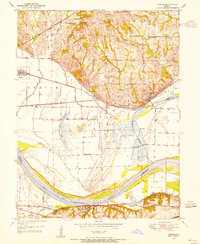
1950 · Camden
USGS Topo · 1:24,000
1950 · Bates City
USGS Topo · 1:24,000