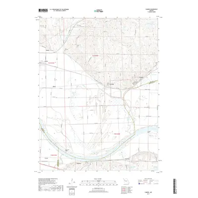
2017 Map of Camden
USGS Topo · Published 2017About this map
The Missouri River carves a massive path through this landscape, creating the prominent Napoleon Bend and Camden Bend where the water turns sharply against the northern bluffs. Below the bluffs, the broad alluvial floodplain is a complex network of wetlands and drainage, featuring water bodies like Ralph Lake and the winding course of Brady Cr. This area is punctuated by small Missouri river towns, from Camden and Fleming along the northern rail corridor to Napoleon and Waterloo on the southern bank.
Find a feature on this map
93 named features on this map. Tap any name to fly to it.
Don’t see what you’re looking for? This feature index may not catch every label — zoom into the map to look around manually.
Map Details
Editions of this 2017 Camden Map
This is the sole edition of this map. No revisions or reprints were ever made.
Other maps of this area
1889 · Lexington
USGS Topo · 1:125,000
1894 · Independence
USGS Topo · 1:125,000
1934 · Oak Grove
USGS Topo · 1:24,000
1935 · Buckner
USGS Topo · 1:24,000
1949 · Lexington West
USGS Topo · 1:24,000
1949 · Odessa North
USGS Topo · 1:24,000

1950 · Kansas City
USGS Topo · 1:250,000
1950 · Odessa North
USGS Topo · 1:24,000
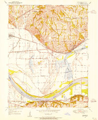
1950 · Camden
USGS Topo · 1:24,000
1950 · Bates City
USGS Topo · 1:24,000