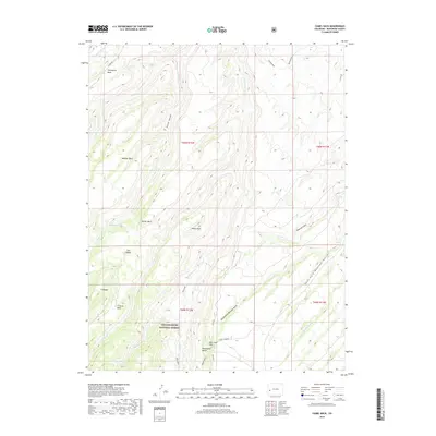
2019 Map of Camel Back
USGS Topo · Published 2019About this map
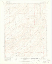
Uncompahgre National Forest dominates this section of Montrose County, where a series of high tablelands and deep drainages define the high-desert geography. This 2019 survey captures the rugged landscape surrounding the distinctive Camel Back formation and the broad expanse of Twentyfive Mesa. The map details a complex system of water management and natural hydrology, from the persistent Potter Spring to the seasonal courses of Roubideau Creek and Criswell Creek.
Find a feature on this map
31 named features on this map. Tap any name to fly to it.
Don’t see what you’re looking for? This feature index may not catch every label — zoom into the map to look around manually.
Map Details
Editions of this 2019 Camel Back Map
This is the sole edition of this map. No revisions or reprints were ever made.
Other maps of this area

1956 · Moab
USGS Topo · 1:250,000

1959 · Moab
USGS Topo · 1:250,000

1960 · Moab
USGS Topo · 1:250,000

1962 · Moab
USGS Topo · 1:250,000
1962 · Hoovers Corner
USGS Topo · 1:24,000
1962 · Delta
USGS Topo · 1:24,000

1964 · Moab
USGS Topo · 1:250,000

1965 · Moab
USGS Topo · 1:250,000
1969 · Roubideau
USGS Topo · 1:24,000
1969 · Good Point
USGS Topo · 1:24,000