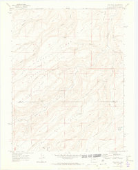
1969 Map of Good Point
USGS Topo · Published 1973About this map
Petroglyphs near the Escalante Rim mark the long human presence in this high-plateau landscape of Western Colorado. In the late 1960s, the terrain was defined by complex drainage systems and isolated water sources necessary for ranching and survival, such as Caps Spring, Cottonwood Spring, and Alum Spring. The map captures the meeting point of the Delta Co Montrose Co boundary, where massive landforms like Camp Ridge and Park Ridge separate deep-cut drainages including Escalante Creek and Boyce Gulch. Infrastructure is sparse, primarily consisting of a Jeep Road and livestock-related improvements like Dry Mesa Reservoir No 2 and Stone Basin Reservoir. This survey provides a record of the remote Uncompahgre Plateau region, highlighting landmarks like the Keyhole and the prominent McCarty Bench.
Find a feature on this map
33 named features on this map. Tap any name to fly to it.
Don’t see what you’re looking for? This feature index may not catch every label — zoom into the map to look around manually.
Map Details
Editions of this 1969 Good Point Map
4 editions found
Other maps of this area

1956 · Moab
USGS Topo · 1:250,000

1959 · Moab
USGS Topo · 1:250,000

1960 · Moab
USGS Topo · 1:250,000

1962 · Moab
USGS Topo · 1:250,000

1964 · Moab
USGS Topo · 1:250,000

1965 · Moab
USGS Topo · 1:250,000
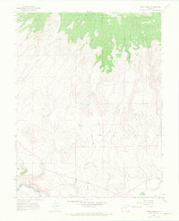
1965 · Point Creek
USGS Topo · 1:24,000
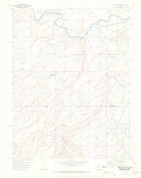
1969 · Roubideau
USGS Topo · 1:24,000
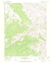
1969 · Triangle Mesa
USGS Topo · 1:24,000
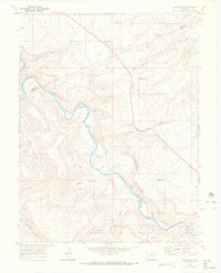
1969 · Dominguez
USGS Topo · 1:24,000