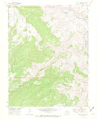
1969 Map of Triangle Mesa
USGS Topo · Published 1972About this map
The Gunnison River carves through the northeastern corner of this 1969 canyonland survey, where the Denver and Rio Grande Western railroad follows the water's edge. The settlement of Bridgeport sits at a critical bend in the river, serving as a rare point of human activity in a landscape dominated by dramatic vertical relief. To the south and west, the terrain rises into a series of distinctive landforms including Triangle Mesa, Horse Mesa, and the isolated No Mans Mesa.
Find a feature on this map
35 named features on this map. Tap any name to fly to it.
Don’t see what you’re looking for? This feature index may not catch every label — zoom into the map to look around manually.
Map Details
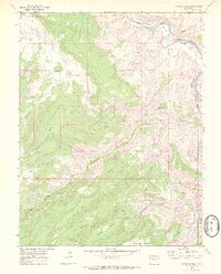
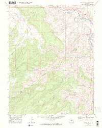
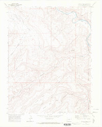
Editions of this 1969 Triangle Mesa Map
4 editions found
Other maps of this area

1956 · Moab
USGS Topo · 1:250,000

1959 · Moab
USGS Topo · 1:250,000

1960 · Moab
USGS Topo · 1:250,000

1962 · Moab
USGS Topo · 1:250,000

1964 · Moab
USGS Topo · 1:250,000

1965 · Moab
USGS Topo · 1:250,000
1969 · Whitewater
USGS Topo · 1:24,000
1969 · Juniata Reservoir
USGS Topo · 1:24,000
1969 · Dominguez
USGS Topo · 1:24,000
1969 · Island Mesa
USGS Topo · 1:24,000