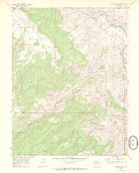
1969 Map of Triangle Mesa
USGS Topo · Published 1972About this map
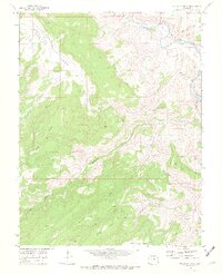
Gunnison River canyons and high plateaus dominate this late 1960s survey of the western Colorado landscape. The settlement of Bridgeport sits near the river's edge, served by the Denver and Rio Grande Western railroad which snakes through the canyon floor. The topography is defined by massive formations like Triangle Mesa, Horse Mesa, and Long Mesa, carved out by complex drainage systems including Big Dominguez Creek and Little Dominguez Creek. Evidence of industrial activity and exploration appears through a labeled Shaft, various Prospects, and a Tunnel near Tunnel Point. The map also captures the vast, arid character of Cactus Park and the network of primitive Jeep Trails that provided access to these remote tablelands before more modern development reached the area.
Find a feature on this map
31 named features on this map. Tap any name to fly to it.
Don’t see what you’re looking for? This feature index may not catch every label — zoom into the map to look around manually.
Map Details
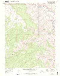
Editions of this 1969 Triangle Mesa Map
4 editions found
Other maps of this area

1956 · Moab
USGS Topo · 1:250,000

1959 · Moab
USGS Topo · 1:250,000

1960 · Moab
USGS Topo · 1:250,000

1962 · Moab
USGS Topo · 1:250,000

1964 · Moab
USGS Topo · 1:250,000

1965 · Moab
USGS Topo · 1:250,000
1969 · Whitewater
USGS Topo · 1:24,000
1969 · Juniata Reservoir
USGS Topo · 1:24,000
1969 · Triangle Mesa
USGS Topo · 1:24,000
1969 · Dominguez
USGS Topo · 1:24,000