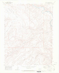
1969 Map of Triangle Mesa
USGS Topo · Published 1972About this map
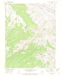
Gunnison River canyons and high plateau formations dominate this 1969 survey of the Mesa and Delta County border. The Denver and Rio Grande Western railroad follows the river's winding course through the northeast corner, passing the settlement of Bridgeport and the geological landmark at Tunnel Point. The landscape is a network of arid drainage systems, including Big Dominguez Creek and Poison Canyon, which have carved deep paths through the surrounding tablelands. Evidence of human activity and ranching history appears in the form of numerous Jeep Trails and the Bar X Bench Stock Trail, providing access to isolated areas like No Mans Mesa and Cactus Park. Small-scale mineral exploration is visible via Prospects located near Star Mesa, reflecting the region's history of rugged land use and topographic isolation.
Find a feature on this map
35 named features on this map. Tap any name to fly to it.
Don’t see what you’re looking for? This feature index may not catch every label — zoom into the map to look around manually.
Map Details
Editions of this 1969 Triangle Mesa Map
4 editions found
Other maps of this area

1956 · Moab
USGS Topo · 1:250,000

1959 · Moab
USGS Topo · 1:250,000

1960 · Moab
USGS Topo · 1:250,000

1962 · Moab
USGS Topo · 1:250,000

1964 · Moab
USGS Topo · 1:250,000

1965 · Moab
USGS Topo · 1:250,000
1969 · Whitewater
USGS Topo · 1:24,000
1969 · Juniata Reservoir
USGS Topo · 1:24,000
1969 · Triangle Mesa
USGS Topo · 1:24,000
1969 · Dominguez
USGS Topo · 1:24,000