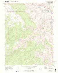
1969 Map of Triangle Mesa
USGS Topo · Published 1972About this map
The Gunnison River carves through a landscape of high mesas and deep drainage canyons along the Mesa Co Delta Co line. In the late 1960s, this area remained largely undeveloped, defined by the Denver and Rio Grande Western Railroad snaking along the riverbanks near the small settlement of Bridgeport. The map reveals a network of high-altitude terrain including Triangle Mesa, No Mans Mesa, and Horse Mesa, separated by significant watercourses like Big Dominguez Creek and Little Dominguez Creek.
Find a feature on this map
32 named features on this map. Tap any name to fly to it.
Don’t see what you’re looking for? This feature index may not catch every label — zoom into the map to look around manually.
Map Details
Editions of this 1969 Triangle Mesa Map
4 editions found
Other maps of this area

1956 · Moab
USGS Topo · 1:250,000

1959 · Moab
USGS Topo · 1:250,000

1960 · Moab
USGS Topo · 1:250,000

1962 · Moab
USGS Topo · 1:250,000

1964 · Moab
USGS Topo · 1:250,000

1965 · Moab
USGS Topo · 1:250,000
1969 · Whitewater
USGS Topo · 1:24,000
1969 · Juniata Reservoir
USGS Topo · 1:24,000
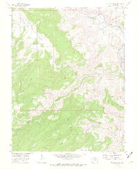
1969 · Triangle Mesa
USGS Topo · 1:24,000
1969 · Dominguez
USGS Topo · 1:24,000