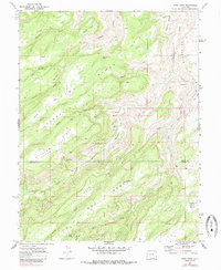
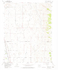
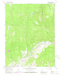
1969 Map of Good Point
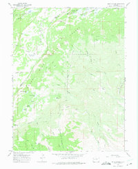
USGS Topo · Published 1985This historical map portrays the area of Good Point in 1969, primarily covering Delta County as well as portions of Montrose County. Featuring a scale of 1:24000, this map provides a highly detailed snapshot of the terrain, roads, buildings, counties, and historical landmarks in the Good Point region at the time. Published in 1985, it is one of 4 known editions of this map due to revisions or reprints.
Find a feature on this map
72 named features on this map. Tap any name to fly to it.
Don’t see what you’re looking for? This feature index may not catch every label — zoom into the map to look around manually.
Map Details
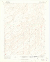
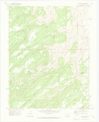
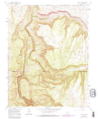
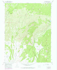
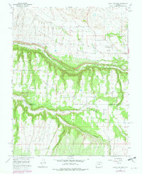
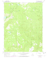
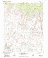
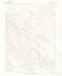
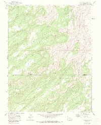
Editions of this 1969 Good Point Map
4 editions found
Historical Maps of Keyhole Through Time
32 maps found
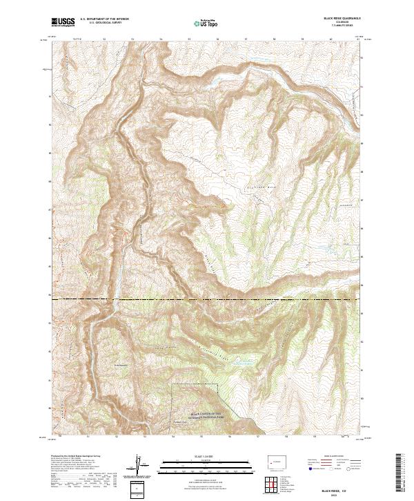
1955 Black Ridge
Delta County, CO
1955 Olathe NW
Delta County, CO

1960 Leon Peak
Delta County, CO
1961 Chalk Mountain
Delta County, CO
1961 Electric Mountain
Delta County, CO
1962 North Delta
Delta County, CO
1965 Bowie
Delta County, CO
1965 Dry Creek
Delta County, CO
1965 Grand View Mesa
Delta County, CO
1965 Gray Reservoir
Delta County, CO
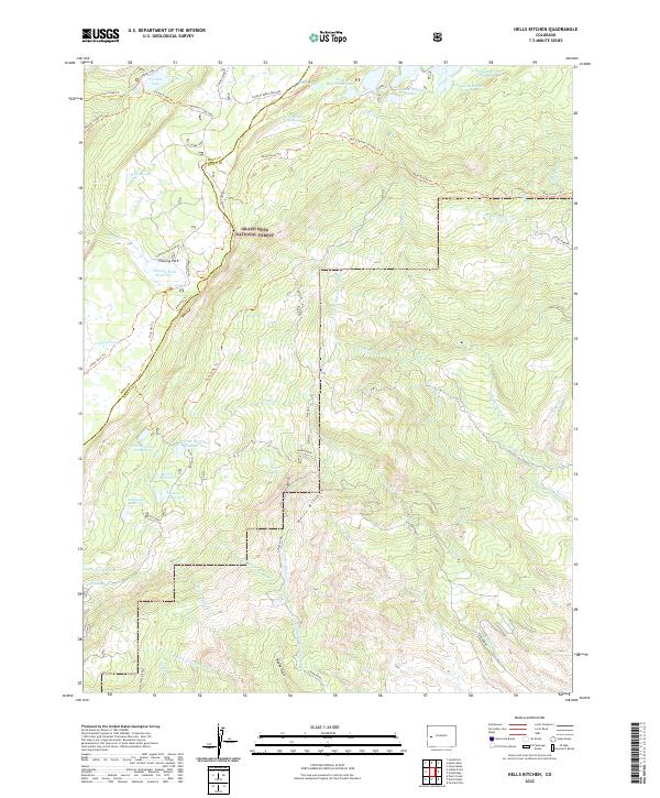
1965 Hells Kitchen
Delta County, CO
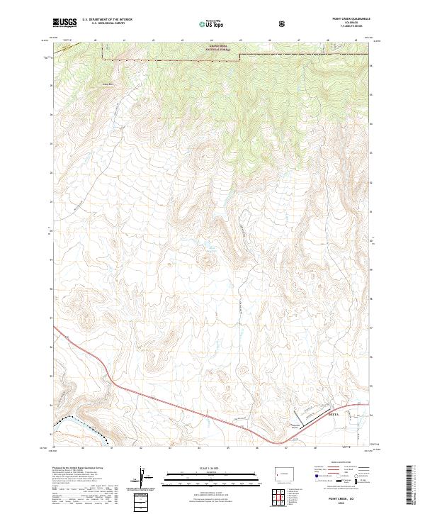
1965 Point Creek
Delta County, CO
1969 Dominguez
Delta County, CO
1969 Good Point
Delta County, CO
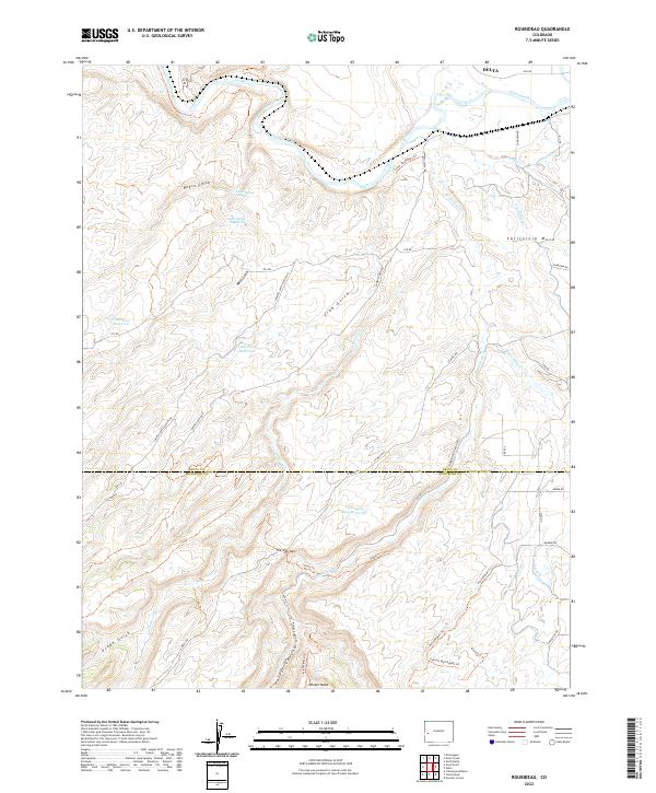
1969 Roubideau
Delta County, CO
2001 Bowie
Delta County, CO
2001 Electric Mountain
Delta County, CO
2022 Black Ridge
Delta County, CO
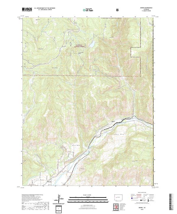
2022 Bowie
Delta County, CO
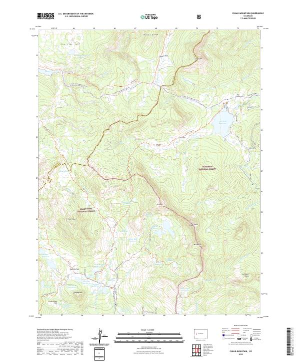
2022 Chalk Mountain
Delta County, CO
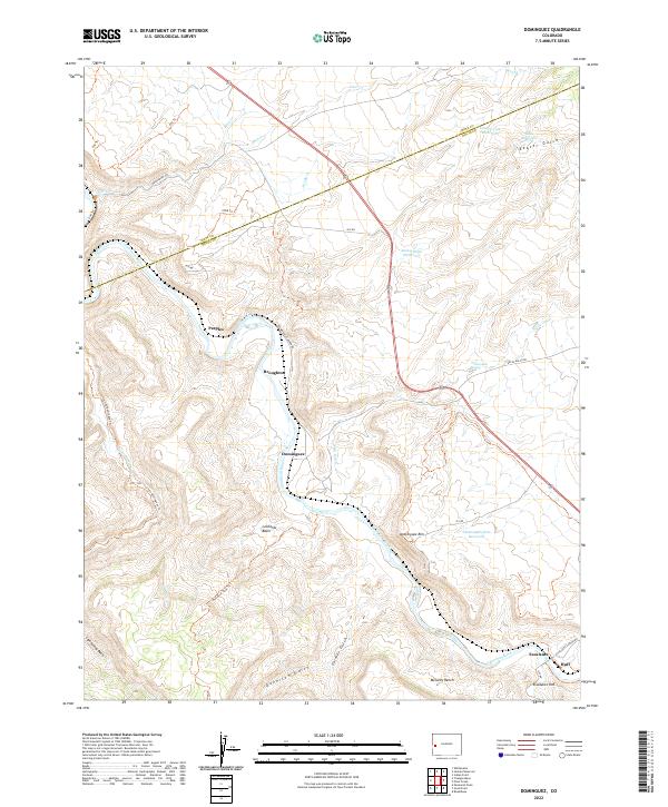
2022 Dominguez
Delta County, CO
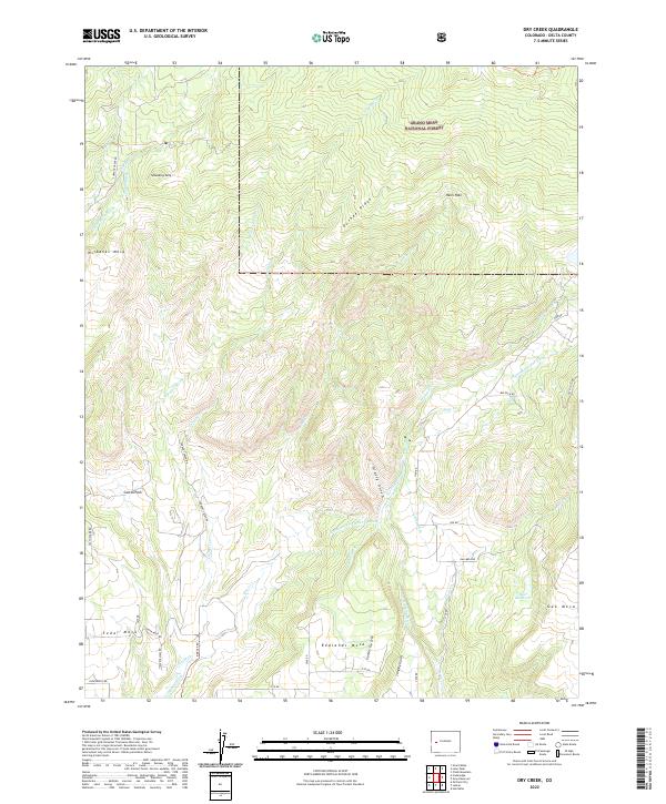
2022 Dry Creek
Delta County, CO
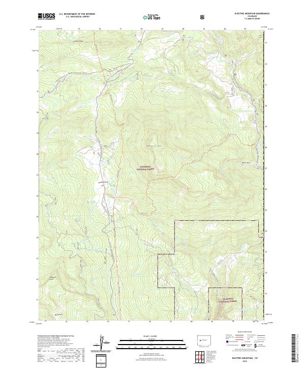
2022 Electric Mountain
Delta County, CO
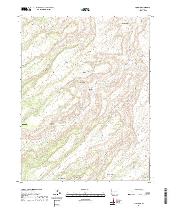
2022 Good Point
Delta County, CO
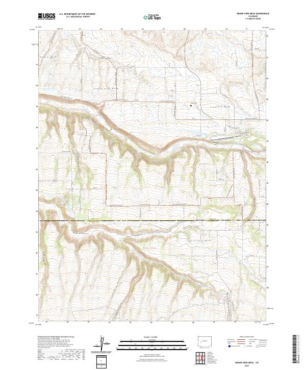
2022 Grand View Mesa
Delta County, CO
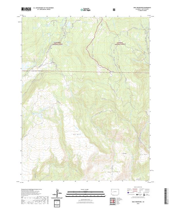
2022 Gray Reservoir
Delta County, CO
2022 Hells Kitchen
Delta County, CO
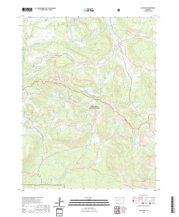
2022 Leon Peak
Delta County, CO
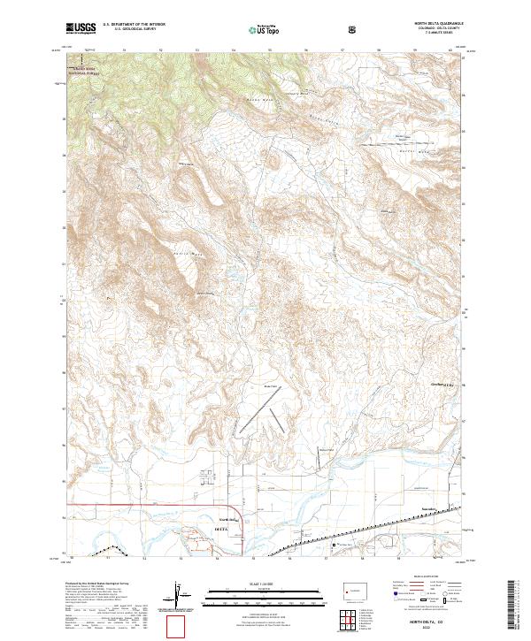
2022 North Delta
Delta County, CO
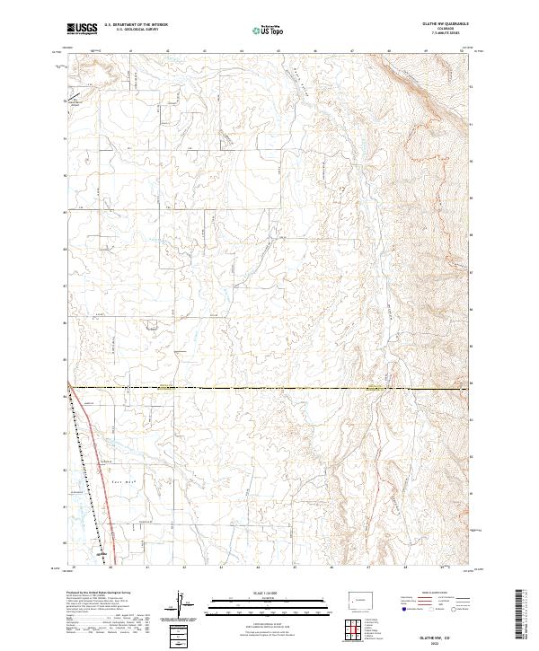
2022 Olathe NW
Delta County, CO
2022 Point Creek
Delta County, CO
2022 Roubideau
Delta County, CO