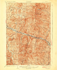
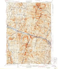
1924 Map of Camels Hump
USGS Topo · Published 1924About this map
Camels Hump dominates the center of this 1920s topography, serving as the high point in a landscape defined by the Green Mountains. The Winooski River carves a deep valley through the northern half of the region, providing a natural corridor for the Central Vermont railroad and the Theodore Roosevelt Highway. Along this corridor, the settlements of Richmond, Jonesville, and Waterbury thrive, the latter being the site of the State Hospital for the Insane.
Find a feature on this map
87 named features on this map. Tap any name to fly to it.
Don’t see what you’re looking for? This feature index may not catch every label — zoom into the map to look around manually.
Map Details
Editions of this 1924 Camels Hump Map
5 editions found
Other maps of this area
1903 · Middlebury
USGS Topo · 1:62,500
1905 · Middlebury
USGS Topo · 1:62,500
1906 · Burlington
USGS Topo · 1:62,500
1913 · Milton
USGS Topo · 1:48,000
1915 · Milton
USGS Topo · 1:62,500
1919 · Burlington
USGS Topo · 1:62,500
1919 · Lincoln Mountain
USGS Topo · 1:62,500
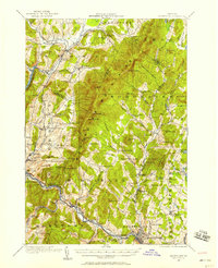
1919 · Montpelier
USGS Topo · 1:62,500
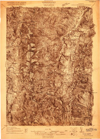
1920 · Lincoln Mountain
USGS Topo · 1:48,000
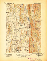
1920 · Middlebury
USGS Topo · 1:62,500