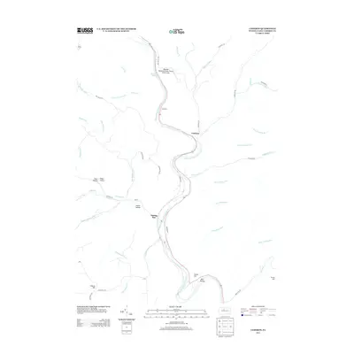
2013 Map of Cameron
USGS Topo · Published 2013About this map
Sterling Run and Cameron anchor this survey of the narrow valley floor where the Driftwood Br Sinnemahoning Cr winds through the Allegheny Plateau. The landscape is defined by a dense network of mountain streams and steep hollows, many bearing names like Reed Hollow, Miller Hollow, and Beny Hollow that may trace back to early lumbering families or homesteaders. The map captures the interaction between the natural terrain and human passage, from the high points of Huston Hill and Tunnel Hill to the public recreation at Wayside Memorial State Forest Picnic Area. Settlement remains concentrated along the creek and state route, while numerous watercourses like Tannery Hollow Run hint at the area's industrial history in tanning or timber harvesting.
Find a feature on this map
49 named features on this map. Tap any name to fly to it.
Don’t see what you’re looking for? This feature index may not catch every label — zoom into the map to look around manually.
Map Details
Editions of this 2013 Cameron Map
This is the sole edition of this map. No revisions or reprints were ever made.
Other maps of this area

1941 · Benezette
USGS Topo · 1:62,500

1943 · Benezette
USGS Topo · 1:62,500

1945 · Driftwood
USGS Topo · 1:48,000

1945 · First Fork
USGS Topo · 1:24,000

1945 · Sinnemahoning
USGS Topo · 1:24,000

1945 · Driftwood
USGS Topo · 1:24,000

1945 · Cameron
USGS Topo · 1:24,000

1947 · Cameron
USGS Topo · 1:24,000

1947 · First Fork
USGS Topo · 1:24,000

1947 · Sinnemahoning
USGS Topo · 1:24,000
Featured Places
- Cameron, Lumber Township
- Gibson Township, PA
- Lumber Township, PA
- Portage Township, PA
- Shippen Township, PA