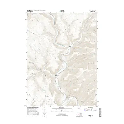
2016 Map of Cameron
USGS Topo · Published 2016About this map
Driftwood Branch Sinnemahoning Creek carves a deep path through this portion of Cameron County, dictating the placement of the primary settlements at Cameron and Sterling Run. The landscape is defined by high ridges and numerous narrow valleys, or hollows, such as Reed Hollow, Beny Hollow, and Miller Hollow. Development is concentrated along the river floor and on the flanking heights like Mason Hill, where rural routes such as Mason Hill Rd and Sterling Hill Rd connect isolated homesteads to the valley below.
Find a feature on this map
67 named features on this map. Tap any name to fly to it.
Don’t see what you’re looking for? This feature index may not catch every label — zoom into the map to look around manually.
Map Details
Editions of this 2016 Cameron Map
This is the sole edition of this map. No revisions or reprints were ever made.
Other maps of this area

1941 · Benezette
USGS Topo · 1:62,500

1943 · Benezette
USGS Topo · 1:62,500

1945 · Driftwood
USGS Topo · 1:48,000

1945 · First Fork
USGS Topo · 1:24,000

1945 · Sinnemahoning
USGS Topo · 1:24,000

1945 · Driftwood
USGS Topo · 1:24,000

1945 · Cameron
USGS Topo · 1:24,000

1947 · Cameron
USGS Topo · 1:24,000

1947 · First Fork
USGS Topo · 1:24,000

1947 · Sinnemahoning
USGS Topo · 1:24,000
Featured Places
- Cameron, Lumber Township
- Gibson Township, PA
- Lumber Township, PA
- Portage Township, PA
- Shippen Township, PA