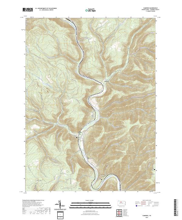
2023 Map of Cameron
USGS Topo · Published 2023About this map
The Driftwood Branch Sinnemahoning Creek carves a deep path through this portion of Cameron County, anchoring the small valley settlements of Sterling Run and Cameron. This modern topographic study reveals a landscape defined by steep ridges and narrow hollows, where human presence is concentrated along the river corridor and scattered across high points like Tunnel Hill and Grove Hill. The settlement at Sterling Run serves as a focal point, featuring the Sterling Run Cem and access to the Bucktail Path Trl, while the surrounding terrain is heavily dissected by numerous runs including Hunts Run and Big Run. For family historians, the inclusion of small burial sites such as Pine Street Cem, Wyle Cem, and Grove Hill Cem offers precise locations for tracing local lineages in this enduring Pennsylvania wilderness area.
Find a feature on this map
75 named features on this map. Tap any name to fly to it.
Don’t see what you’re looking for? This feature index may not catch every label — zoom into the map to look around manually.
Map Details
Editions of this 2023 Cameron Map
This is the sole edition of this map. No revisions or reprints were ever made.
Other maps of this area

1941 · Benezette
USGS Topo · 1:62,500

1943 · Benezette
USGS Topo · 1:62,500

1945 · Driftwood
USGS Topo · 1:48,000

1945 · First Fork
USGS Topo · 1:24,000

1945 · Sinnemahoning
USGS Topo · 1:24,000

1945 · Driftwood
USGS Topo · 1:24,000

1945 · Cameron
USGS Topo · 1:24,000

1947 · Cameron
USGS Topo · 1:24,000

1947 · First Fork
USGS Topo · 1:24,000

1947 · Sinnemahoning
USGS Topo · 1:24,000
Featured Places
- Gibson Township, PA
- Lumber Township, PA
- Portage Township, PA
- Shippen Township, PA
- Sterling Run, Lumber Township