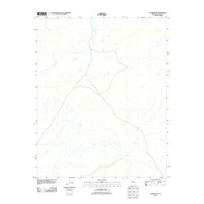
2011 Map of Cameron NE
USGS Topo · Published 2011About this map
Espejo Spring provides a critical water source in this arid Coconino County landscape, where the seasonal drainage of Fivemile Wash carves its way through the desert floor. The map illustrates a high-elevation plateau defined by a sparse network of unpaved roads and 4WD tracks that follow the natural topography, suggesting a region primarily utilized for ranching or land management rather than dense settlement. The drainage patterns of the wash and its unnamed tributaries dominate the geography, reflecting the essential role that water and elevation play in navigating this northern Arizona terrain.
Find a feature on this map
2 named features on this map. Tap any name to fly to it.
Don’t see what you’re looking for? This feature index may not catch every label — zoom into the map to look around manually.
Map Details
Editions of this 2011 Cameron NE Map
This is the sole edition of this map. No revisions or reprints were ever made.
Other maps of this area

1886 · San Francisco Mtns
USGS Topo · 1:250,000

1886 · Echo Cliffs
USGS Topo · 1:250,000

1891 · San Francisco Mtns
USGS Topo · 1:250,000

1891 · Echo Cliffs
USGS Topo · 1:250,000

1894 · San Francisco Mtns
USGS Topo · 1:250,000

1899 · San Francisco Mtns
USGS Topo · 1:250,000

1947 · Flagstaff
USGS Topo · 1:250,000

1954 · Flagstaff
USGS Topo · 1:250,000

1955 · Cameron SW
USGS Topo · 1:24,000
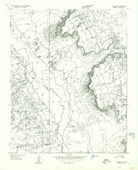
1955 · Cameron SE
USGS Topo · 1:24,000