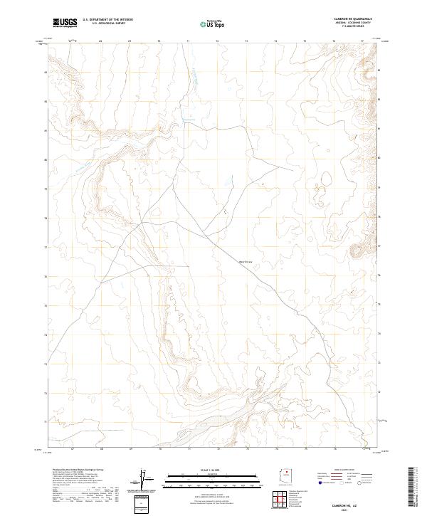
2021 Map of Cameron NE
USGS Topo · Published 2021About this map
Ward Terrace defines the landscape of this Coconino County terrain, characterized by the winding drainage of Fivemile Wash and the presence of Espejo Spring. This 2021 modern topographic survey, published by the U.S. Geological Survey, maps a largely unpopulated expanse of high desert marked by its distinct geological formations and seasonal watercourses. The network of unimproved roads and survey boundaries across the township ranges reveals a territory shaped by its hydrological patterns and the vast horizontal reaches of the Painted Desert region.
Find a feature on this map
9 named features on this map. Tap any name to fly to it.
Don’t see what you’re looking for? This feature index may not catch every label — zoom into the map to look around manually.
Map Details
Editions of this 2021 Cameron NE Map
This is the sole edition of this map. No revisions or reprints were ever made.
Other maps of this area

1886 · San Francisco Mtns
USGS Topo · 1:250,000

1886 · Echo Cliffs
USGS Topo · 1:250,000

1891 · San Francisco Mtns
USGS Topo · 1:250,000

1891 · Echo Cliffs
USGS Topo · 1:250,000

1894 · San Francisco Mtns
USGS Topo · 1:250,000

1899 · San Francisco Mtns
USGS Topo · 1:250,000

1947 · Flagstaff
USGS Topo · 1:250,000

1954 · Flagstaff
USGS Topo · 1:250,000

1955 · Cameron SW
USGS Topo · 1:24,000
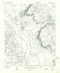
1955 · Cameron SE
USGS Topo · 1:24,000