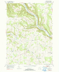
1953 Map of Cameron
USGS Topo · Published 1990About this map
The Canisteo River valley dominates this mid-century Steuben County landscape, serving as a vital corridor for both the Erie RR and local industry. In the 1950s, the village of Cameron was a primary rail stop, supported by a Gaging Sta and a network of small upland settlements. The surrounding hills, including Averell Hill and Oregon Hill, are dotted with family and community burial grounds like Swale Cem and Lower Swale Cem, reflecting the area's long agricultural history.
Find a feature on this map
30 named features on this map. Tap any name to fly to it.
Don’t see what you’re looking for? This feature index may not catch every label — zoom into the map to look around manually.
Map Details
Editions of this 1953 Cameron Map
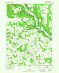
Other maps of this area

1910 · Bath
USGS Topo · 1:62,500

1915 · Hornell
USGS Topo · 1:62,500

1918 · Hornell
USGS Topo · 1:62,500

1924 · Woodhull
USGS Topo · 1:48,000

1926 · Woodhull
USGS Topo · 1:62,500

1926 · Greenwood
USGS Topo · 1:62,500

1944 · Woodhull
USGS Topo · 1:62,500

1950 · Elmira
USGS Topo · 1:250,000

1953 · Cameron
USGS Topo · 1:24,000

1953 · Woodhull
USGS Topo · 1:24,000