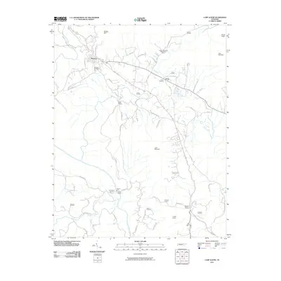
2010 Map of Camp Austin
USGS Topo · Published 2010About this map
Wartburg and the surrounding Morgan County landscape are defined by a complex network of family cemeteries and industrial history as shown in this 2010 survey. The northern reaches of the map feature the Wartburg Blue Gem Mine, a nod to the area's coal mining heritage, while the Brushy Mountain State Honor Farm occupies a significant tract of land to the east. The terrain is marked by prominent high points such as Lone Mountain and Cooke Knob, with numerous hollows and gaps between the ridges.
Find a feature on this map
64 named features on this map. Tap any name to fly to it.
Don’t see what you’re looking for? This feature index may not catch every label — zoom into the map to look around manually.
Map Details
Editions of this 2010 Camp Austin Map
This is the sole edition of this map. No revisions or reprints were ever made.
Other maps of this area

1887 · Kingston
USGS Topo · 1:125,000

1891 · Kingston
USGS Topo · 1:125,000

1893 · Briceville
USGS Topo · 1:125,000

1893 · Kingston
USGS Topo · 1:125,000

1895 · Wartburg
USGS Topo · 1:125,000

1895 · Loudon
USGS Topo · 1:125,000

1895 · Briceville
USGS Topo · 1:125,000

1896 · Wartburg
USGS Topo · 1:125,000

1896 · Briceville
USGS Topo · 1:125,000

1935 · Gobey
USGS Topo · 1:24,000