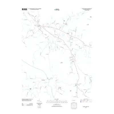
2013 Map of Camp Austin
USGS Topo · Published 2013About this map
Wartburg serves as the primary focal point of this Morgan County landscape, where the confluence of several mountain branches and creeks shapes the local geography. The area's administrative and agricultural character is evident through the presence of the Brushy Mountain State Honor Farm and the Morgan County Landfill north of the Crooked Fork. These landmarks, alongside smaller communities like Liberty and Grove, reveal a pattern of settlement closely tied to the winding valley floors and the elevations of Lone Mountain and Cooke Knob.
Find a feature on this map
130 named features on this map. Tap any name to fly to it.
Don’t see what you’re looking for? This feature index may not catch every label — zoom into the map to look around manually.
Map Details
Editions of this 2013 Camp Austin Map
This is the sole edition of this map. No revisions or reprints were ever made.
Other maps of this area

1887 · Kingston
USGS Topo · 1:125,000

1891 · Kingston
USGS Topo · 1:125,000

1893 · Briceville
USGS Topo · 1:125,000

1893 · Kingston
USGS Topo · 1:125,000

1895 · Wartburg
USGS Topo · 1:125,000

1895 · Loudon
USGS Topo · 1:125,000

1895 · Briceville
USGS Topo · 1:125,000

1896 · Wartburg
USGS Topo · 1:125,000

1896 · Briceville
USGS Topo · 1:125,000

1935 · Gobey
USGS Topo · 1:24,000