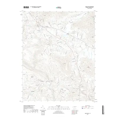
2019 Map of Camp Austin
USGS Topo · Published 2019About this map
Wartburg serves as the focal point of this survey, situated at the base of Bird Mtn on the eastern edge of the Cumberland Plateau. The landscape is defined by the sharp descent of the plateau into the Emory River valley, where settlements like Deermont, Camp Austin, and Piney follow the winding river and rail corridor. The drainage patterns are intricate, with Crooked Fork and Flat Fork cutting through the terrain, flanked by significant elevations such as Lone Mtn and Little Brushy Mtn.
Find a feature on this map
132 named features on this map. Tap any name to fly to it.
Don’t see what you’re looking for? This feature index may not catch every label — zoom into the map to look around manually.
Map Details
Editions of this 2019 Camp Austin Map
This is the sole edition of this map. No revisions or reprints were ever made.
Other maps of this area

1887 · Kingston
USGS Topo · 1:125,000

1891 · Kingston
USGS Topo · 1:125,000

1893 · Briceville
USGS Topo · 1:125,000

1893 · Kingston
USGS Topo · 1:125,000

1895 · Wartburg
USGS Topo · 1:125,000

1895 · Loudon
USGS Topo · 1:125,000

1895 · Briceville
USGS Topo · 1:125,000

1896 · Wartburg
USGS Topo · 1:125,000

1896 · Briceville
USGS Topo · 1:125,000

1935 · Gobey
USGS Topo · 1:24,000