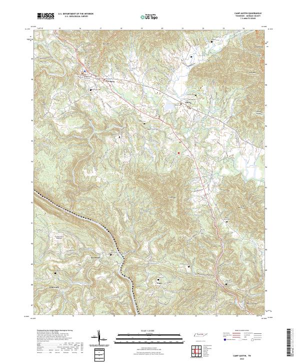
2022 Map of Camp Austin
USGS Topo · Published 2022About this map
The Morgan County Courthouse stands as the central landmark of Wartburg, a community positioned where the high country of the Cumberland Plateau meets a complex network of ridges and watercourses. This landscape is defined by the winding Emory River and its numerous tributaries, including Crooked Fork and Flat Fork. The settlement pattern reflects the area's geography, with small communities such as Liberty, Deermont, and Piney established along valley floors and near gap crossings.
Find a feature on this map
125 named features on this map. Tap any name to fly to it.
Don’t see what you’re looking for? This feature index may not catch every label — zoom into the map to look around manually.
Map Details
Editions of this 2022 Camp Austin Map
This is the sole edition of this map. No revisions or reprints were ever made.
Other maps of this area

1887 · Kingston
USGS Topo · 1:125,000

1891 · Kingston
USGS Topo · 1:125,000

1893 · Briceville
USGS Topo · 1:125,000

1893 · Kingston
USGS Topo · 1:125,000

1895 · Wartburg
USGS Topo · 1:125,000

1895 · Loudon
USGS Topo · 1:125,000

1895 · Briceville
USGS Topo · 1:125,000

1896 · Wartburg
USGS Topo · 1:125,000

1896 · Briceville
USGS Topo · 1:125,000

1935 · Gobey
USGS Topo · 1:24,000