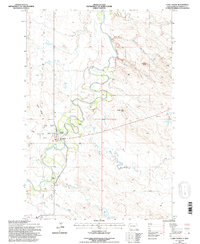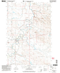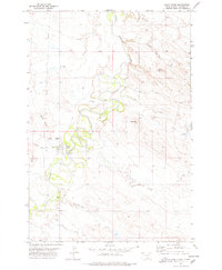
1977 Map of Camp Crook
USGS Topo · Published 1978About this map
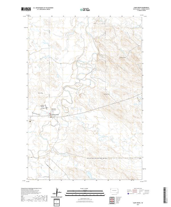
Camp Crook serves as the focal point of this Harding County landscape, positioned along the winding banks of the Little Missouri River. In the mid-1970s, the area's layout reflects a mix of civic infrastructure and remote ranching life, from the Municipal Airport and Rodeo Ground near the town center to the outlying K Bar and Catron Ranch. The terrain is marked by distinct landmarks such as Dead Man Hill and Battle Ridge, while water drainage is defined by an intricate network including Ash Creek, Buffalo Springs Creek, and Pine Draw.
Find a feature on this map
24 named features on this map. Tap any name to fly to it.
Don’t see what you’re looking for? This feature index may not catch every label — zoom into the map to look around manually.
Map Details
Editions of this 1977 Camp Crook Map
This is the sole edition of this map. No revisions or reprints were ever made.
Historical Maps of Camp Crook Through Time
8 maps found