
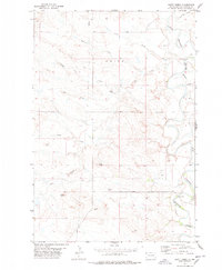
1974 Map of Caroline Butte
USGS Topo · Published 1976About this map
The Little Missouri River meanders through this portion of Harding County, defining a landscape marked by intermittent drainages and isolated landmarks. During the mid-1970s, this area remained largely rural ranch land, anchored by the Tarter Ranch located along Slick Creek. The terrain is characterized by numerous seasonal watercourses including Wagon Creek, Smiley Creek, and Oley Creek, all of which feed toward the primary river valley.
Find a feature on this map
16 named features on this map. Tap any name to fly to it.
Don’t see what you’re looking for? This feature index may not catch every label — zoom into the map to look around manually.
Map Details
Editions of this 1974 Caroline Butte Map
This is the sole edition of this map. No revisions or reprints were ever made.
Other maps of this area

1935 · Buffalo
USGS Topo · 1:125,000

1954 · Lemmon
USGS Topo · 1:250,000

1954 · Ekalaka
USGS Topo · 1:250,000

1956 · Ekalaka
USGS Topo · 1:250,000

1957 · Lemmon
USGS Topo · 1:250,000

1958 · Ekalaka
USGS Topo · 1:250,000

1965 · Ekalaka
USGS Topo · 1:250,000

1973 · Gallup Creek
USGS Topo · 1:24,000

1974 · Pine Spring
USGS Topo · 1:24,000
1977 · Scott Creek
USGS Topo · 1:24,000