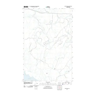
2011 Map of Camp Seven
USGS Topo · Published 2011About this map
The Colville Indian Reservation encompasses this entire landscape, defined by a network of drainage systems and isolated springs. The topography is characterized by deep incisions from Omak Creek and its various tributaries, including Haley Creek and Camp Seven Creek. Water sources are vital markers in this arid environment, evidenced by named locations such as Wise Camp Spring, Sheep Camp Spring, and Shorty Spring.
Find a feature on this map
27 named features on this map. Tap any name to fly to it.
Don’t see what you’re looking for? This feature index may not catch every label — zoom into the map to look around manually.
Map Details
Editions of this 2011 Camp Seven Map
This is the sole edition of this map. No revisions or reprints were ever made.
Other maps of this area

1950 · Boot Mtn
USGS Topo · 1:62,500

1950 · Alameda Flat
USGS Topo · 1:62,500

1952 · Alameda Flat
USGS Topo · 1:62,500

1952 · Disautel
USGS Topo · 1:62,500

1953 · Omak Lake
USGS Topo · 1:62,500

1954 · Okanogan
USGS Topo · 1:250,000

1958 · Okanogan
USGS Topo · 1:250,000
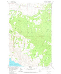
1980 · Camp Seven
USGS Topo · 1:24,000
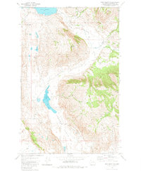
1980 · Boot Mountain
USGS Topo · 1:24,000
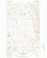
1980 · Joe Lake
USGS Topo · 1:24,000