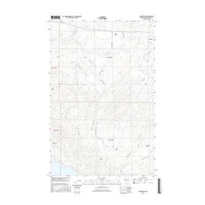
2017 Map of Camp Seven
USGS Topo · Published 2017About this map
Disautel and the surrounding rangelands of the Colville Reservation define this landscape in Okanogan County. The terrain is a network of named springs and seasonal drainages, where landmarks like Quaking Aspen Spring, Wildhorse Spring, and Van Brunt Swamp Springs reflect the importance of water sources in this upland environment. Settlement patterns follow the natural basins and flats, including the area around Coyote Town and the grazing lands of Bull Pasture. A complex system of Bureau of Indian Affairs routes and local tracks, such as Haley Creek Rd and Dan Nason Basin Rd, provides access across the diverse topography. To the south, the map reaches the northern shores of Omak Lake, while to the north, the corridor of Route 155 passes through French Valley, connecting the high basins to the larger regional trade network.
Find a feature on this map
42 named features on this map. Tap any name to fly to it.
Don’t see what you’re looking for? This feature index may not catch every label — zoom into the map to look around manually.
Map Details
Editions of this 2017 Camp Seven Map
This is the sole edition of this map. No revisions or reprints were ever made.
Other maps of this area

1950 · Boot Mtn
USGS Topo · 1:62,500

1950 · Alameda Flat
USGS Topo · 1:62,500

1952 · Alameda Flat
USGS Topo · 1:62,500

1952 · Disautel
USGS Topo · 1:62,500

1953 · Omak Lake
USGS Topo · 1:62,500

1954 · Okanogan
USGS Topo · 1:250,000

1958 · Okanogan
USGS Topo · 1:250,000
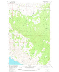
1980 · Camp Seven
USGS Topo · 1:24,000
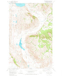
1980 · Boot Mountain
USGS Topo · 1:24,000
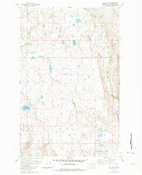
1980 · Joe Lake
USGS Topo · 1:24,000