Loading...
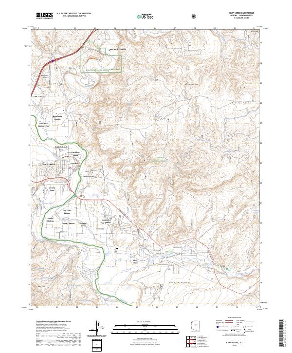
Loading map...1932 Map of Camp Verde
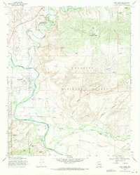
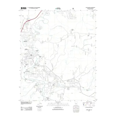
USGS Topo · Published 1965About this map
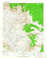
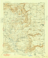
Montezuma Castle National Monument and Montezuma Well anchor this early 1930s landscape, illustrating the deep historical layering of the Verde Valley. Numerous Ruins are documented along the course of the Verde River, while the surrounding plateau and canyons reflect a landscape of early Arizona ranching and forest management. Working cattle operations like the Coconino Cattle Co Ranch and Gray Ranch share space with federal outposts such as the Coffee Creek Ranger Sta.
Find a feature on this map
150 named features on this map. Tap any name to fly to it.
Don’t see what you’re looking for? This feature index may not catch every label — zoom into the map to look around manually.
Map Details
Date Portrayed1932
Date Published1965
PublisherU.S. Geological Survey
Map TypeTopographic
Scale1:125,000
Physical Dimensions16.9 x 20.8 inches
Editions of this 1932 Camp Verde Map
2 editions found

Historical Maps of Cottonwood Through Time
9 maps found

Featured Locations
Source Details
SourceU.S. Geological Survey
CopyrightPublic Domain