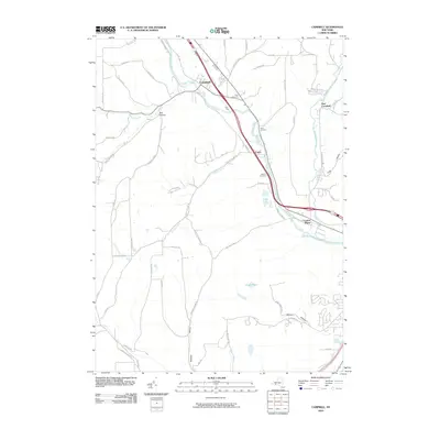
2010 Map of Campbell
USGS Topo · Published 2010About this map
The Cohocton River valley serves as the central artery of this Steuben County landscape, dictated by the corridor of the river and the adjacent transportation lines. The settlement of Campbell anchors the northwest, while Coopers Plains sits at the southeastern confluence of the river and Meads Creek. This area illustrates a classic river-valley development pattern, where major infrastructure follows the level grade of the water, leaving the surrounding uplands for smaller hollows and named ridges.
Find a feature on this map
58 named features on this map. Tap any name to fly to it.
Don’t see what you’re looking for? This feature index may not catch every label — zoom into the map to look around manually.
Map Details
Editions of this 2010 Campbell Map
This is the sole edition of this map. No revisions or reprints were ever made.
Other maps of this area

1903 · Hammondsport
USGS Topo · 1:62,500

1910 · Bath
USGS Topo · 1:62,500

1914 · Corning
USGS Topo · 1:62,500

1924 · Woodhull
USGS Topo · 1:48,000

1926 · Woodhull
USGS Topo · 1:62,500

1944 · Woodhull
USGS Topo · 1:62,500

1944 · Corning
USGS Topo · 1:62,500

1950 · Elmira
USGS Topo · 1:250,000

1953 · Campbell
USGS Topo · 1:24,000

1953 · Bradford
USGS Topo · 1:24,000