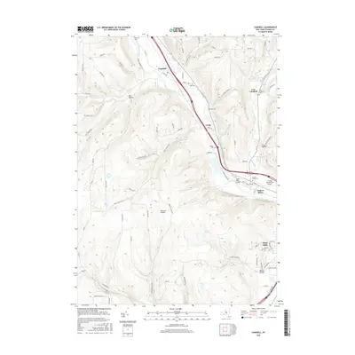
2016 Map of Campbell
USGS Topo · Published 2016About this map
The Cohocton River valley serves as the primary corridor for development and transit in this Steuben County landscape, as seen in the 2010s. The settlement of Campbell is situated at the junction of the river and Michigan Cr, with the Norfolk Southern railroad and major highways following the natural grade of the valley floor. To the southeast, Coopers Plains and Gang Mills indicate a more concentrated development pattern near the Corning-Painted Post Airport.
Find a feature on this map
87 named features on this map. Tap any name to fly to it.
Don’t see what you’re looking for? This feature index may not catch every label — zoom into the map to look around manually.
Map Details
Editions of this 2016 Campbell Map
This is the sole edition of this map. No revisions or reprints were ever made.
Other maps of this area
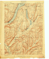
1903 · Hammondsport
USGS Topo · 1:62,500
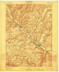
1910 · Bath
USGS Topo · 1:62,500
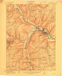
1914 · Corning
USGS Topo · 1:62,500
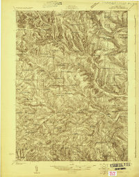
1924 · Woodhull
USGS Topo · 1:48,000
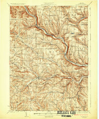
1926 · Woodhull
USGS Topo · 1:62,500
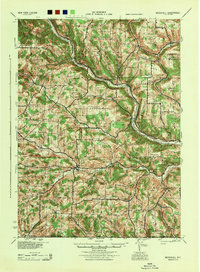
1944 · Woodhull
USGS Topo · 1:62,500
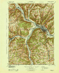
1944 · Corning
USGS Topo · 1:62,500

1950 · Elmira
USGS Topo · 1:250,000
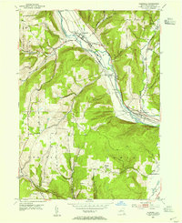
1953 · Campbell
USGS Topo · 1:24,000
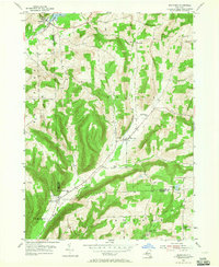
1953 · Bradford
USGS Topo · 1:24,000