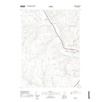
2019 Map of Campbell
USGS Topo · Published 2019About this map
The Cohocton River valley forms the primary corridor of movement through this part of Steuben County, where the village of Campbell serves as a central hub. Settlement patterns closely follow the river's path and its various tributaries, such as Wolf Run and McNutt Run. This late-2010s survey shows a landscape defined by sharp transitions between the fertile valley floor and the high, wooded ridges of Burr Hollow and Beeman Hollow. To the southeast, Coopers Plains and the Corning-Painted Post Airport indicate the increasing density near the Chemung County border. Local genealogy is well-preserved across numerous burial sites, including Riverside Cem and Hope Cem, while the modern industrial and educational footprint is represented by facilities like Boces. Traditional landmarks, such as the Smith Road Bridge and several named creeks like Meads Creek, reflect a persistent connection to the river-based geography of the Southern Tier.
Find a feature on this map
103 named features on this map. Tap any name to fly to it.
Don’t see what you’re looking for? This feature index may not catch every label — zoom into the map to look around manually.
Map Details
Editions of this 2019 Campbell Map
This is the sole edition of this map. No revisions or reprints were ever made.
Other maps of this area

1903 · Hammondsport
USGS Topo · 1:62,500

1910 · Bath
USGS Topo · 1:62,500

1914 · Corning
USGS Topo · 1:62,500

1924 · Woodhull
USGS Topo · 1:48,000

1926 · Woodhull
USGS Topo · 1:62,500

1944 · Woodhull
USGS Topo · 1:62,500

1944 · Corning
USGS Topo · 1:62,500

1950 · Elmira
USGS Topo · 1:250,000

1953 · Campbell
USGS Topo · 1:24,000

1953 · Bradford
USGS Topo · 1:24,000