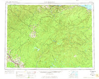
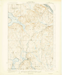
1963 Map of Campbellton
USGS Topo · Published 1963About this map
Campbellton and the surrounding borderlands of New Brunswick and Maine are defined here by the winding Restigouche River as it reaches Chaleur Bay. This area features a network of French-Acadian and English settlements, including St-Alexis-de-Matapedia and Mann Mountain Settlement, linked by the Canadian National railway. The interior is largely shaped by the forestry and resource economy of the early 1960s, evidenced by numerous outposts like Rapids Depot and Caribou Depot, alongside Rock Mill. The topography transitions from the agricultural holdings near Atholville to the high peaks of the Black Mountains, including Mt Carleton. Large protected areas like the Kedgwick Game Refuge dominate the northwestern quadrant, while specialized locations such as the Miller Line Cache highlight the remote nature of the international boundary line.
Find a feature on this map
165 named features on this map. Tap any name to fly to it.
Don’t see what you’re looking for? This feature index may not catch every label — zoom into the map to look around manually.
Map Details
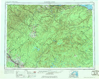
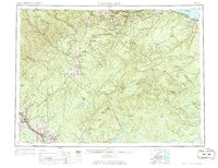
Editions of this 1963 Campbellton Map
3 editions found
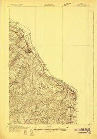
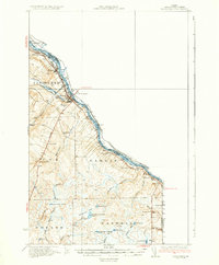
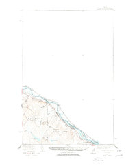
Other maps of this area

1921 · Van Buren
USGS Topo · 1:250,000

1927 · Stockholm
USGS Topo · 1:48,000

1929 · Caribou
USGS Topo · 1:48,000

1930 · Fort Fairfield
USGS Topo · 1:48,000
1931 · Van Buren
USGS Topo · 1:48,000
1931 · Stockholm
USGS Topo · 1:62,500

1932 · Caribou
USGS Topo · 1:62,500

1933 · Fort Fairfield
USGS Topo · 1:62,500
1934 · Van Buren
USGS Topo · 1:62,500
1938 · Grand Isle
USGS Topo · 1:62,500