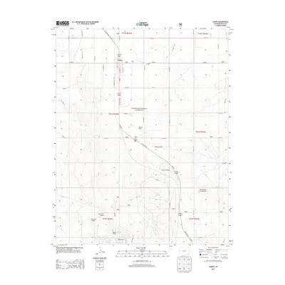
2013 Map of Campo
USGS Topo · Published 2013About this map
Campo serves as the primary hub for this corner of Baca County, where the agricultural grid of the High Plains meets the protected expanse of the Comanche National Grassland. The landscape south of town transforms from flat prairie into a complex system of breaks and drainages, most notably Aubrey Canyon and Ute Canyon. These natural features, along with several draws such as Murray Draw and Burrows Draw, define the hydrology of the region as it slopes toward the Oklahoma border.
Find a feature on this map
45 named features on this map. Tap any name to fly to it.
Don’t see what you’re looking for? This feature index may not catch every label — zoom into the map to look around manually.
Map Details
Editions of this 2013 Campo Map
This is the sole edition of this map. No revisions or reprints were ever made.
Other maps of this area

1891 · Springfield
USGS Topo · 1:125,000

1892 · Vilas
USGS Topo · 1:125,000

1893 · Springfield
USGS Topo · 1:125,000

1954 · Dalhart
USGS Topo · 1:250,000

1955 · La Junta
USGS Topo · 1:250,000

1958 · La Junta
USGS Topo · 1:250,000

1958 · Dalhart
USGS Topo · 1:250,000

1962 · Dalhart
USGS Topo · 1:250,000

1968 · La Junta
USGS Topo · 1:250,000

1968 · Autograph Cliff NW
USGS Topo · 1:24,000