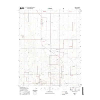
2016 Map of Campo
USGS Topo · Published 2016About this map
Campo serves as a small agricultural hub on the high plains of Baca County, situated at the intersection of a grid-iron street plan including Oak St, S Main St, and Walnut St. The surrounding landscape is defined by the protected acreage of the Comanche National Grassland, where the terrain drops from flat plains into a series of drainages and canyon systems. In the southern portion of the map, the topography becomes significantly more complex as Aubury Creek and Ute Canyon carve through the earth. Notable geological and water features such as Devils Elbow, Dripping Spring, and West Ute Canyon indicate a rugged environment quite different from the nearby town site. Local history is anchored by the Campo Cem located just northeast of the settlement, while the network of county roads like Co Rd 28 and Co Rd K trace the section lines of this rural Colorado region.
Find a feature on this map
39 named features on this map. Tap any name to fly to it.
Don’t see what you’re looking for? This feature index may not catch every label — zoom into the map to look around manually.
Map Details
Editions of this 2016 Campo Map
This is the sole edition of this map. No revisions or reprints were ever made.
Other maps of this area

1891 · Springfield
USGS Topo · 1:125,000

1892 · Vilas
USGS Topo · 1:125,000

1893 · Springfield
USGS Topo · 1:125,000

1954 · Dalhart
USGS Topo · 1:250,000

1955 · La Junta
USGS Topo · 1:250,000

1958 · La Junta
USGS Topo · 1:250,000

1958 · Dalhart
USGS Topo · 1:250,000

1962 · Dalhart
USGS Topo · 1:250,000

1968 · La Junta
USGS Topo · 1:250,000

1968 · Autograph Cliff NW
USGS Topo · 1:24,000