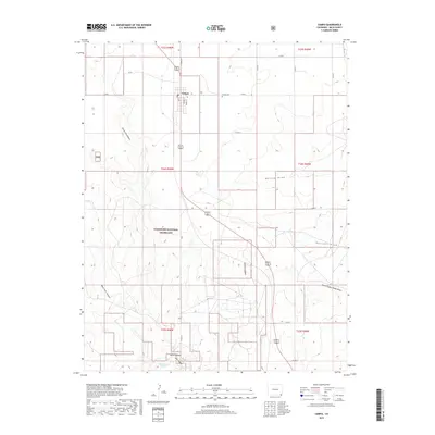
2019 Map of Campo
USGS Topo · Published 2019About this map
Campo serves as the primary settlement in this corner of Baca County, where the grid of Oak St, Walnut St, and Maple St defines the small-town core. This 2019 survey documents a landscape where agricultural section lines meet the natural erosion of the high plains, most notably within the Comanche National Grassland. The terrain is deeply incised by drainages such as North Ute Canyon, West Ute Canyon, and Aubrey Canyon, which converge toward the Devils Elbow at the southern edge of the sheet. Water sources like Dripping Spring and Ute Canyon Cr provide vital points of interest in an otherwise arid expanse. Local history is anchored at the Campo Cem, located just east of the main townsite along the local road network.
Find a feature on this map
34 named features on this map. Tap any name to fly to it.
Don’t see what you’re looking for? This feature index may not catch every label — zoom into the map to look around manually.
Map Details
Editions of this 2019 Campo Map
This is the sole edition of this map. No revisions or reprints were ever made.
Other maps of this area

1891 · Springfield
USGS Topo · 1:125,000

1892 · Vilas
USGS Topo · 1:125,000

1893 · Springfield
USGS Topo · 1:125,000

1954 · Dalhart
USGS Topo · 1:250,000

1955 · La Junta
USGS Topo · 1:250,000

1958 · La Junta
USGS Topo · 1:250,000

1958 · Dalhart
USGS Topo · 1:250,000

1962 · Dalhart
USGS Topo · 1:250,000

1968 · La Junta
USGS Topo · 1:250,000

1968 · Autograph Cliff NW
USGS Topo · 1:24,000