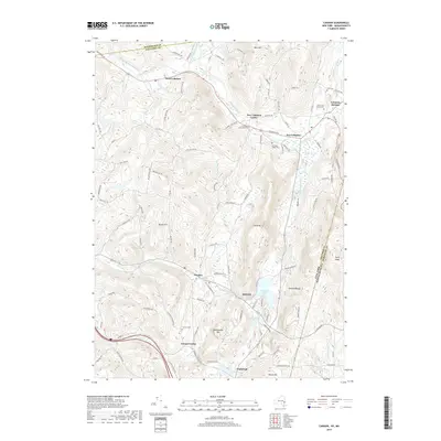
2019 Map of Canaan
USGS Topo · Published 2019About this map
Lebanon Springs and the surrounding valley of Kinderhook Creek define this landscape along the New York and Massachusetts border. The terrain is marked by the high elevations of the Taconic Range, including Perry Peak and The Knob, which overlook a series of historic hamlets and agricultural pockets. Settlement patterns follow the water and the roads, with New Lebanon and West Lebanon serving as key nodes along the Columbia Pike.
Find a feature on this map
106 named features on this map. Tap any name to fly to it.
Don’t see what you’re looking for? This feature index may not catch every label — zoom into the map to look around manually.
Map Details
Editions of this 2019 Canaan Map
This is the sole edition of this map. No revisions or reprints were ever made.
Other maps of this area

1888 · Berlin
USGS Topo · 1:62,500

1888 · Pittsfield
USGS Topo · 1:62,500

1890 · Pittsfield
USGS Topo · 1:62,500

1890 · Berlin
USGS Topo · 1:62,500

1893 · Troy
USGS Topo · 1:62,500

1893 · Pittsfield
USGS Topo · 1:62,500

1894 · Berlin
USGS Topo · 1:62,500

1894 · Pittsfield
USGS Topo · 1:62,500

1895 · Troy
USGS Topo · 1:62,500

1897 · Pittsfield
USGS Topo · 1:62,500