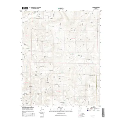
2014 Map of Canaan
USGS Topo · Published 2014About this map
Canaan and the surrounding high country of the Ozarks are defined by a complex network of hollows and ridges just north of the Searcy and Van Buren County line. The hydrology of the region is anchored by the Middle Fork Little Red River, which collects drainage from numerous tributaries like Ballinger Br and Crooked Br. This landscape, documented in the early 21st century, shows a pattern of ridge-top roads and creek-bottom settlements that has persisted for generations.
Find a feature on this map
101 named features on this map. Tap any name to fly to it.
Don’t see what you’re looking for? This feature index may not catch every label — zoom into the map to look around manually.
Map Details
Editions of this 2014 Canaan Map
This is the sole edition of this map. No revisions or reprints were ever made.
Other maps of this area

1879 · Washington
USGS Topo · 1:62,500

1887 · Smyrna
USGS Topo · 1:62,500

1889 · Marshall #3
USGS Topo · 1:62,500

1892 · Marshall
USGS Topo · 1:125,000

1894 · Marshall
USGS Topo · 1:125,000

1901 · Marshall
USGS Topo · 1:125,000

1939 · Snowball
USGS Topo · 1:62,500

1940 · Smyrna
USGS Topo · 1:62,500

1941 · Snowball
USGS Topo · 1:62,500

1942 · Snowball
USGS Topo · 1:62,500