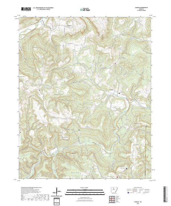
2024 Map of Canaan
USGS Topo · Published 2024About this map
Canaan sits at the northern edge of this high-clearance landscape, where a network of county roads and state highways connects scattered residential pockets with the deep hollows of the Ozarks. The geography is defined by the Middle Fork Little Red River and its numerous tributaries, including Little Red Creek and Cove Creek, which have carved out distinctive local landmarks like Picayune Hollow and Bohannon Mtn. This modern survey illustrates the persistent rural character of Searcy County, where small settlements like Watts and Kay serve as anchors amidst the ridges.
Find a feature on this map
97 named features on this map. Tap any name to fly to it.
Don’t see what you’re looking for? This feature index may not catch every label — zoom into the map to look around manually.
Map Details
Editions of this 2024 Canaan Map
This is the sole edition of this map. No revisions or reprints were ever made.
Other maps of this area

1879 · Washington
USGS Topo · 1:62,500

1887 · Smyrna
USGS Topo · 1:62,500

1889 · Marshall #3
USGS Topo · 1:62,500

1892 · Marshall
USGS Topo · 1:125,000

1894 · Marshall
USGS Topo · 1:125,000

1901 · Marshall
USGS Topo · 1:125,000

1939 · Snowball
USGS Topo · 1:62,500

1940 · Smyrna
USGS Topo · 1:62,500

1941 · Snowball
USGS Topo · 1:62,500

1942 · Snowball
USGS Topo · 1:62,500