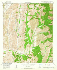
1948 Map of Canada Gobernadora
USGS Topo · Published 1964About this map
Mission Viejo and Trabuco land grants define this landscape shortly after the war, showing a rural corner of Orange County before the arrival of modern suburban developments. The topography is dominated by the broad, flat Plano Trabuco and a complex network of canyons including Arroyo Trabuco, Bell Canyon, and Cañada Gobernadora. In the southern reach of the sheet, the Old Mission Site rests near the confluence of several drainages, while the Ortega Highway snakes eastward into the Cleveland National Forest.
Find a feature on this map
30 named features on this map. Tap any name to fly to it.
Don’t see what you’re looking for? This feature index may not catch every label — zoom into the map to look around manually.
Map Details
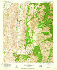
Editions of this 1948 Canada Gobernadora Map
2 editions found
Other maps of this area

1901 · Southern California Sheet No. 1
USGS Topo · 1:250,000

1901 · Elsinore
USGS Topo · 1:125,000

1901 · San Luis Rey
USGS Topo · 1:125,000

1902 · Capistrano
USGS Topo · 1:125,000

1902 · Corona
USGS Topo · 1:125,000

1904 · Southern California Sheet No. 2
USGS Topo · 1:250,000

1904 · Southern California Sheet No. 1
USGS Topo · 1:250,000

1906 · Capistrano
USGS Topo · 1:125,000

1935 · El Toro
USGS Topo · 1:31,680

1941 · Margarita Peak
USGS Topo · 1:62,500