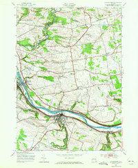
1944 Map of Canajoharie
USGS Topo · Published 1972About this map
Mohawk River commerce and valley settlement define this 1944 aerial-based study of Montgomery County. The industrial and transit corridor is densely packed with the Erie Canal, the New York Central railroad, and the clustered village centers of Canajoharie, Palatine Bridge, and Fort Plain. This layout reveals the enduring importance of the river gap as a primary artery for New York's inland trade during the mid-20th century.
Find a feature on this map
49 named features on this map. Tap any name to fly to it.
Don’t see what you’re looking for? This feature index may not catch every label — zoom into the map to look around manually.
Map Details
Editions of this 1944 Canajoharie Map
2 editions found
Other maps of this area

1896 · Fonda
USGS Topo · 1:62,500

1898 · Fonda
USGS Topo · 1:62,500

1898 · Canajoharie
USGS Topo · 1:62,500

1900 · Canajoharie
USGS Topo · 1:62,500

1901 · Lassellsville
USGS Topo · 1:62,500

1902 · Canajoharie
USGS Topo · 1:62,500

1902 · Fonda
USGS Topo · 1:62,500

1903 · Gloversville
USGS Topo · 1:62,500

1903 · Lassellsville
USGS Topo · 1:62,500

1943 · Gloversville
USGS Topo · 1:62,500