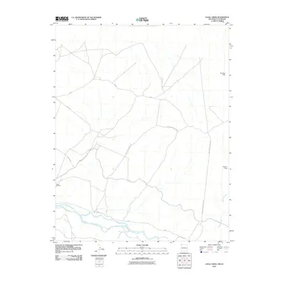
2010 Map of Canal Creek
USGS Topo · Published 2010About this map
The San Juan River defines the southern portion of this landscape, meandering through a corridor marked by seasonal drainages and infrastructure. High ground is punctuated by distinct landmarks like Standing Rock in the northeast and Volcano Peak to the east, providing a sense of the arid verticality in this region. This 2010 survey highlights a network of essential routes, including Pipe Line Rd and several Bureau of Indian Affairs corridors such as Indian Service Route 5029. These roads intersect a terrain shaped by water management and natural erosion, evidenced by the Area Silt Dam and the winding course of Shiprock Wash. The map documents the persistent connection between limited water resources and the transportation network required to traverse the high desert.
Find a feature on this map
12 named features on this map. Tap any name to fly to it.
Don’t see what you’re looking for? This feature index may not catch every label — zoom into the map to look around manually.
Map Details
Editions of this 2010 Canal Creek Map
This is the sole edition of this map. No revisions or reprints were ever made.
Other maps of this area

1889 · Chaco
USGS Topo · 1:250,000

1892 · Chaco
USGS Topo · 1:250,000

1934 · Chimney Rock
USGS Topo · 1:62,500

1934 · Rattlesnake
USGS Topo · 1:62,500

1936 · Chimney Rock
USGS Topo · 1:62,500

1937 · Rattlesnake
USGS Topo · 1:62,500

1954 · Shiprock
USGS Topo · 1:250,000

1956 · Cortez
USGS Topo · 1:250,000

1958 · Cortez
USGS Topo · 1:250,000

1958 · Shiprock
USGS Topo · 1:250,000