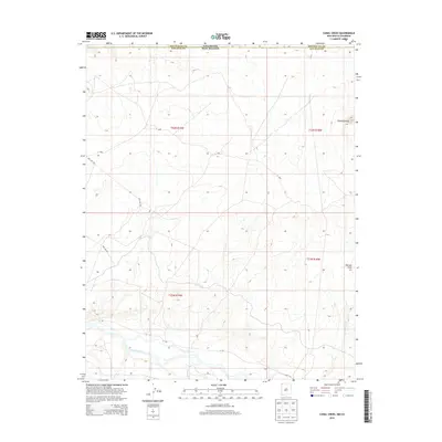
2013 Map of Canal Creek
USGS Topo · Published 2013About this map
The San Juan River flows across the southern portion of this high-desert landscape on the border of Colorado and New Mexico. The terrain is defined by dry drainages and prominent geological markers like Standing Rock and Volcano Peak in the eastern hills. This area, largely within the Shiprock Agency, shows a infrastructure of desert access roads including Pipe Line Rd and several numbered routes such as N 534 and N 5030. Seasonal watercourses like Shiprock Wash and Malpais Arroyo reveal the natural drainage patterns that lead toward the river valley, providing a clear picture of the land's hydrology and land management boundaries at the start of the 21st century.
Find a feature on this map
15 named features on this map. Tap any name to fly to it.
Don’t see what you’re looking for? This feature index may not catch every label — zoom into the map to look around manually.
Map Details
Editions of this 2013 Canal Creek Map
This is the sole edition of this map. No revisions or reprints were ever made.
Other maps of this area

1889 · Chaco
USGS Topo · 1:250,000

1892 · Chaco
USGS Topo · 1:250,000

1934 · Chimney Rock
USGS Topo · 1:62,500

1934 · Rattlesnake
USGS Topo · 1:62,500

1936 · Chimney Rock
USGS Topo · 1:62,500

1937 · Rattlesnake
USGS Topo · 1:62,500

1954 · Shiprock
USGS Topo · 1:250,000

1956 · Cortez
USGS Topo · 1:250,000

1958 · Cortez
USGS Topo · 1:250,000

1958 · Shiprock
USGS Topo · 1:250,000