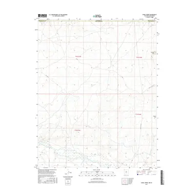
2017 Map of Canal Creek
USGS Topo · Published 2017About this map
The San Juan River defines the southern portion of this landscape, its braided channels and wetlands flowing through the Shiprock Agency region. Just north of the river, the landscape is dissected by drainage systems like Shiprock Wash and Canal Creek, which give this area its distinctive topographic character. High points such as Volcano Peak in the southeast and Standing Rock in the northeast serve as prominent landmarks amidst the arid terrain.
Find a feature on this map
18 named features on this map. Tap any name to fly to it.
Don’t see what you’re looking for? This feature index may not catch every label — zoom into the map to look around manually.
Map Details
Editions of this 2017 Canal Creek Map
This is the sole edition of this map. No revisions or reprints were ever made.
Other maps of this area

1889 · Chaco
USGS Topo · 1:250,000

1892 · Chaco
USGS Topo · 1:250,000

1934 · Chimney Rock
USGS Topo · 1:62,500

1934 · Rattlesnake
USGS Topo · 1:62,500

1936 · Chimney Rock
USGS Topo · 1:62,500

1937 · Rattlesnake
USGS Topo · 1:62,500

1954 · Shiprock
USGS Topo · 1:250,000

1956 · Cortez
USGS Topo · 1:250,000

1958 · Cortez
USGS Topo · 1:250,000

1958 · Shiprock
USGS Topo · 1:250,000