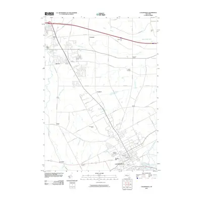
2010 Map of Canandaigua
USGS Topo · Published 2010About this map
Canandaigua and its northern surroundings are defined by a complex network of waterways and early settlements in this 2010 survey. The landscape is drained by Sucker Brook, Padelford Brook, and the Canandaigua Outlet, while wetlands such as Hozzy Swamp and Beaver Meadow Swamp persist in the lower-lying areas. The map reveals a dense distribution of small, established communities and crossroads, including Ingleside Corners, Mertensia, and Blacksmith Corners.
Find a feature on this map
78 named features on this map. Tap any name to fly to it.
Don’t see what you’re looking for? This feature index may not catch every label — zoom into the map to look around manually.
Map Details
Editions of this 2010 Canandaigua Map
This is the sole edition of this map. No revisions or reprints were ever made.
Other maps of this area

1899 · Palmyra
USGS Topo · 1:62,500

1900 · Macedon
USGS Topo · 1:62,500

1900 · Canandaigua
USGS Topo · 1:62,500

1902 · Phelps
USGS Topo · 1:62,500

1902 · Palmyra
USGS Topo · 1:62,500

1903 · Canandaigua
USGS Topo · 1:62,500

1932 · Fairport
USGS Topo · 1:24,000

1934 · Fairport
USGS Topo · 1:24,000
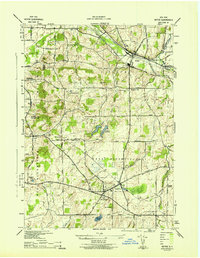
1942 · Victor
USGS Topo · 1:31,680

1942 · Canandaigua
USGS Topo · 1:31,680