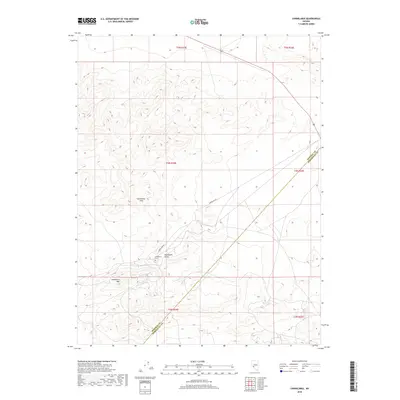
2018 Map of Candelaria
USGS Topo · Published 2018About this map
Candelaria Cem sits along the southern edge of the Candelaria Hills, marking a significant point of historical interest in this high desert landscape. The map details the rugged topography of the region, specifically focusing on the terrain surrounding Pickhandle Gulch and the prominent Candelaria Mtn. This area, straddling the border between Mineral and Esmeralda counties, is defined by its mining heritage and transit routes like Candelaria Rd. The layout of the township and range lines, including t4n r35e, provides a structural framework for understanding the land divisions in this part of Nevada during the early twenty-first century.
Find a feature on this map
12 named features on this map. Tap any name to fly to it.
Don’t see what you’re looking for? This feature index may not catch every label — zoom into the map to look around manually.
Map Details
Editions of this 2018 Candelaria Map
This is the sole edition of this map. No revisions or reprints were ever made.
Other maps of this area

1907 · Tonopah
USGS Topo · 1:250,000

1908 · Tonopah
USGS Topo · 1:250,000

1909 · Hawthorne
USGS Topo · 1:250,000

1911 · Hawthorne
USGS Topo · 1:250,000

1915 · Hawthorne
USGS Topo · 1:250,000

1948 · Walker Lake
USGS Topo · 1:250,000

1956 · Tonopah
USGS Topo · 1:250,000

1957 · Walker Lake
USGS Topo · 1:250,000

1959 · Tonopah
USGS Topo · 1:250,000

1962 · Walker Lake
USGS Topo · 1:250,000