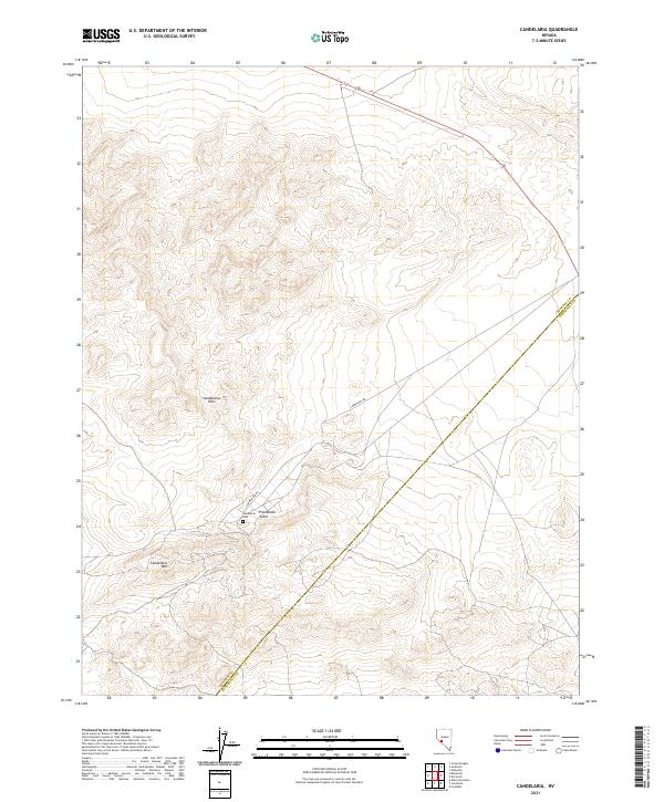
2021 Map of Candelaria
USGS Topo · Published 2021About this map
Candelaria Hills dominate this high-desert landscape on the border of Mineral and Esmeralda counties. This modern topographic survey highlights a region historically defined by its mineral wealth and rugged topography. Local history is anchored by the Candelaria Cem, situated near the head of Pickhandle Gulch, which served the once-booming mining camps of the district. The terrain rises sharply toward Candelaria Mtn in the south, while Candelaria Rd provides the primary access route across the dry basins and alluvial fans that characterize this part of the Great Basin. The map also records the path of Highway 95 as it skirts the northeastern edge of the hills, marking the intersection of modern transportation with the remnants of Nevada's 19th-century silver heritage.
Find a feature on this map
7 named features on this map. Tap any name to fly to it.
Don’t see what you’re looking for? This feature index may not catch every label — zoom into the map to look around manually.
Map Details
Editions of this 2021 Candelaria Map
This is the sole edition of this map. No revisions or reprints were ever made.
Other maps of this area

1907 · Tonopah
USGS Topo · 1:250,000

1908 · Tonopah
USGS Topo · 1:250,000

1909 · Hawthorne
USGS Topo · 1:250,000

1911 · Hawthorne
USGS Topo · 1:250,000

1915 · Hawthorne
USGS Topo · 1:250,000

1948 · Walker Lake
USGS Topo · 1:250,000

1956 · Tonopah
USGS Topo · 1:250,000

1957 · Walker Lake
USGS Topo · 1:250,000

1959 · Tonopah
USGS Topo · 1:250,000

1962 · Walker Lake
USGS Topo · 1:250,000