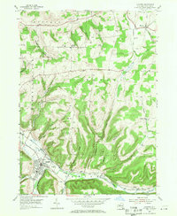
1954 Map of Canisteo
USGS Topo · Published 1971About this map
The Canisteo River valley serves as the primary corridor for settlement and transit in this mid-century New York landscape. Along its banks, the village of Canisteo and the smaller Canisteo Center are linked by the Erie RR, illustrating the historical dependence on the river-level rail grade for regional commerce. The surrounding uplands are defined by a network of steep-sided drainages such as Stephens Gulch and Hungry Hollow, where isolated hilltop settlements like Butcher Corner and Buena Vista reside. For genealogists, the map is particularly rich in family-named burial grounds, including the McConnell Cem, Van Delinder Cem, and Tom Hallett Cem. The presence of several Gas Wells north of Horton Hill points to the area's extraction history, while the sprawling municipal footprint of Canisteo includes localized infrastructure like the Sewage Disposal plant near the bend of the river.
Find a feature on this map
39 named features on this map. Tap any name to fly to it.
Don’t see what you’re looking for? This feature index may not catch every label — zoom into the map to look around manually.
Map Details
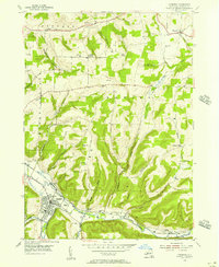
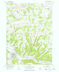
Editions of this 1954 Canisteo Map
3 editions found
Other maps of this area

1910 · Bath
USGS Topo · 1:62,500

1915 · Hornell
USGS Topo · 1:62,500

1918 · Hornell
USGS Topo · 1:62,500

1924 · Woodhull
USGS Topo · 1:48,000

1926 · Woodhull
USGS Topo · 1:62,500

1926 · Greenwood
USGS Topo · 1:62,500

1944 · Woodhull
USGS Topo · 1:62,500

1950 · Elmira
USGS Topo · 1:250,000

1953 · Cameron
USGS Topo · 1:24,000
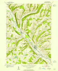
1953 · Avoca
USGS Topo · 1:24,000