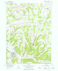
1954 Map of Canisteo
USGS Topo · Published 1977About this map
The Canisteo River valley serves as the primary corridor for transportation and settlement in this mid-century survey of Steuben County. The Erie RR follows the river's winding course, connecting the village of Canisteo with smaller outposts like Canisteo Center and Adrian. The upland plateaus are defined by a network of family-named peaks and hollows, including Horton Hill and Hungry Hollow. This landscape is deeply etched with local genealogy, marked by numerous small burial grounds such as McConnell Cem, Johnson Cem, and Stephens Cem that reflect the area's early farmstead patterns. Small hamlets like Butcher Corner and Buena Vista remain clustered at rural intersections, while the presence of Gas Wells near Sherwood indicates the extraction of natural resources from the hilly terrain. The map captures the transition from a traditional rail-centered economy toward the modernized infrastructure of the 1950s.
Find a feature on this map
46 named features on this map. Tap any name to fly to it.
Don’t see what you’re looking for? This feature index may not catch every label — zoom into the map to look around manually.
Map Details
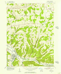
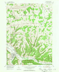
Editions of this 1954 Canisteo Map
3 editions found
Other maps of this area

1910 · Bath
USGS Topo · 1:62,500

1915 · Hornell
USGS Topo · 1:62,500

1918 · Hornell
USGS Topo · 1:62,500

1924 · Woodhull
USGS Topo · 1:48,000

1926 · Woodhull
USGS Topo · 1:62,500

1926 · Greenwood
USGS Topo · 1:62,500

1944 · Woodhull
USGS Topo · 1:62,500

1950 · Elmira
USGS Topo · 1:250,000

1953 · Cameron
USGS Topo · 1:24,000
1953 · Avoca
USGS Topo · 1:24,000