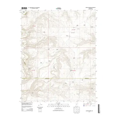
2013 Map of Canon Encierro
USGS Topo · Published 2013About this map
Canadian River waters wind through a landscape defined by deep erosion and cattle ranching where Mora, Harding, and San Miguel counties meet. This 2013 survey illustrates a sparsely populated territory where topographic features such as Upper Horseshoe Bend and the Red Rim dictate the movement of roads like Maddox Rd and Co Road T. The influence of the ranching economy is evident in the presence of the W-3 Cattle Company, while the settlement at Hartley and the remote Armenta Plaza Cem provide evidence of rural communities. The map highlights a series of named drainages, including Cañon Encierro and Cañon Yegua, which create a complex network of canyons and mesas typical of this New Mexico region. High points like Los Mogotes offer a contrast to the broad Valle Romero, showcasing the varied terrain of the High Plains transition.
Find a feature on this map
60 named features on this map. Tap any name to fly to it.
Don’t see what you’re looking for? This feature index may not catch every label — zoom into the map to look around manually.
Map Details
Editions of this 2013 Canon Encierro Map
This is the sole edition of this map. No revisions or reprints were ever made.
Other maps of this area

1954 · Santa Fe
USGS Topo · 1:250,000

1958 · Santa Fe
USGS Topo · 1:250,000

1971 · Beaver Canyon
USGS Topo · 1:24,000

1971 · Alamito
USGS Topo · 1:24,000

1971 · Canon Las Cuevas
USGS Topo · 1:24,000

1971 · Canon Encierro
USGS Topo · 1:24,000

1972 · Arroyo Alamocito
USGS Topo · 1:24,000

1972 · Montoya Point
USGS Topo · 1:24,000
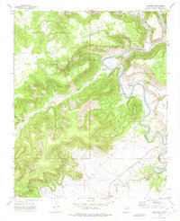
1972 · Sabinoso
USGS Topo · 1:24,000
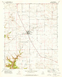
1974 · Roy
USGS Topo · 1:24,000