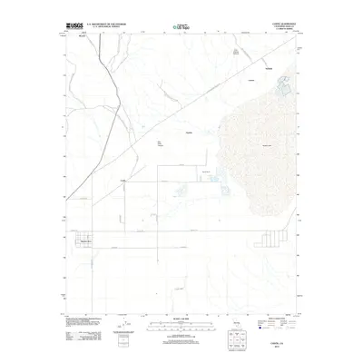
2012 Map of Cantil
USGS Topo · Published 2012About this map
Koehn Lake dominates the eastern half of this Mojave Desert landscape, serving as a focal point for the surrounding desert settlements and industrial history. This area, captured in 2012, reveals a network of small outposts and ranches, including Cantil, Saltdale, and Gypsite, reflecting a legacy of mineral extraction and desert agriculture. The rugged geology of Red Rock Canyon State Park marks the northwestern corner, where the terrain shifts toward Red Rock Canyon and the northern reach of Ricardo. To the south, the grid-like development of Rancho Seco stands in contrast to the natural drainages of Cache Creek. The map provides a detailed view of the regional road network, from the arterial Redrock Randsburg Rd to localized tracks like Last Chance Canyon Rd, illustrating how people navigate this arid environment between isolated landmarks like Moore Ranch and Ceneda.
Find a feature on this map
32 named features on this map. Tap any name to fly to it.
Don’t see what you’re looking for? This feature index may not catch every label — zoom into the map to look around manually.
Map Details
Editions of this 2012 Cantil Map
This is the sole edition of this map. No revisions or reprints were ever made.
Other maps of this area

1915 · Searles Lake
USGS Topo · 1:250,000

1915 · Mojave
USGS Topo · 1:125,000

1943 · Cross Mountain
USGS Topo · 1:62,500

1943 · Saltdale
USGS Topo · 1:62,500

1943 · Castle Butte
USGS Topo · 1:62,500

1943 · Mojave
USGS Topo · 1:62,500

1947 · Castle Butte
USGS Topo · 1:50,000

1947 · Trona
USGS Topo · 1:250,000

1948 · Trona
USGS Topo · 1:250,000

1948 · Bakersfield
USGS Topo · 1:250,000